




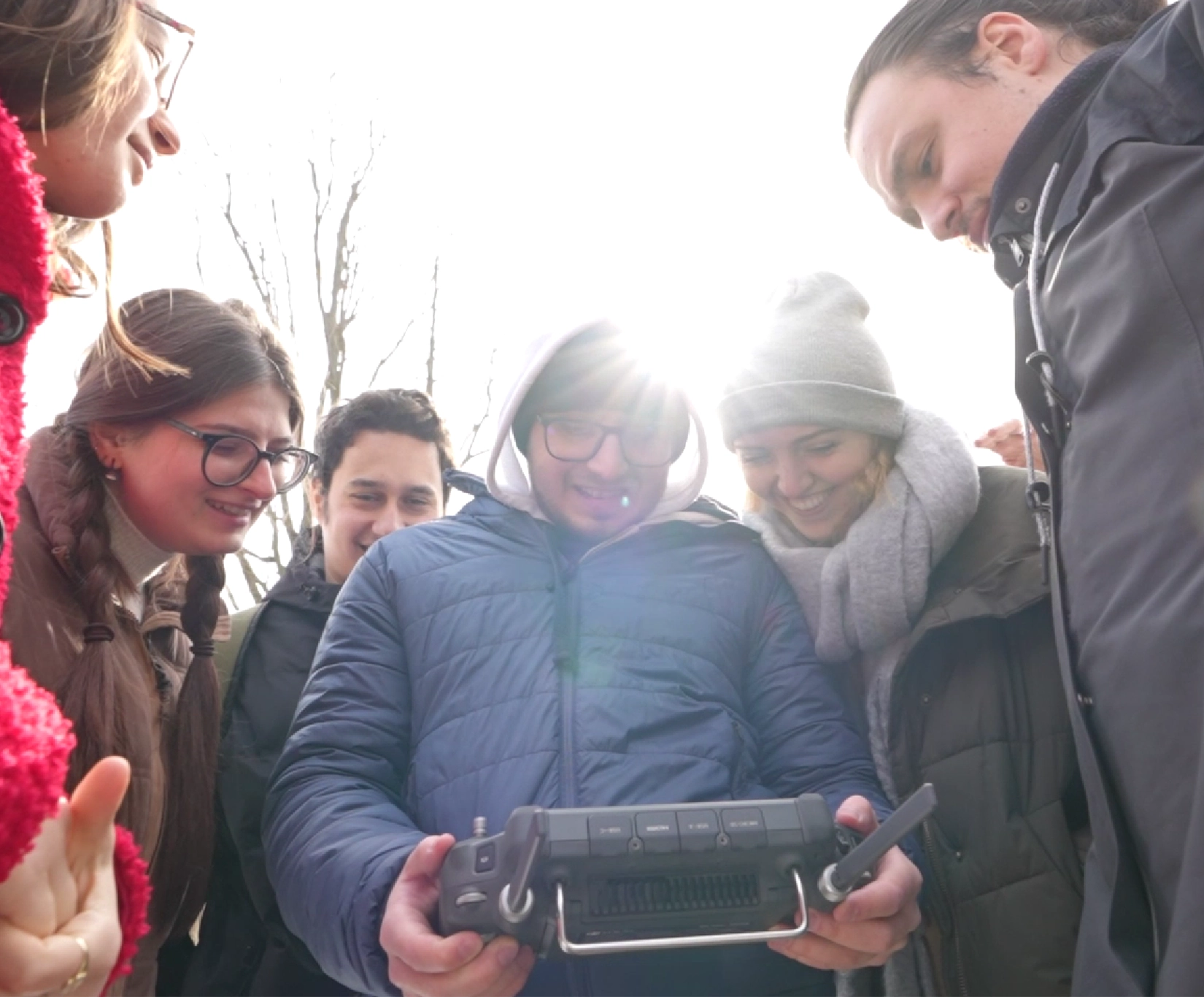
Drones have become important tools for environmental studies, enabling the possibility of fast data collection regarding the Earth’s surface, vegetation and the transformation of geographical space. At the Faculty of Geography of the University of Bucharest, these technologies are being integrated in teaching and research activities, contributing to the development of digital skills and familiarizing students with modern geospatial analysis methods.
One example is the DJI Matrice 350 RTK drone, equipped with DJI L2 LiDAR and DJI H20T thermal sensors, acquired as part of the EDIS project, which is dedicated to developing a digital ecosystem for sustainable education.
How are these technologies used in practice, and what opportunities do they offer students?
Associate Professor Ionuț Șandric, a faculty member at the University of Bucharest’s Faculty of Geography, together with students enrolled in the master’s programme Integrated Assessment of Environmental Conditions, presented the applications of drones in education and research, as well as the manner in which the collected data can be transformed into useful information for environmental studies.
Advanced Technology for Education and Research
The EDIS project aimed to develop a digital ecosystem for sustainable education, based on high-performance IT infrastructure and access to scientific computing resources. In this context, drones contribute to the connection of fieldwork activities with data analysis and processing carried out in the laboratory.
LiDAR technology plays an important role, enabling highly detailed three-dimensional mapping of terrain, vegetation, and other features of the Earth’s surface. The resulting data are then used to generate digital terrain and surface models, as well as to characterize vegetation structures and analyse analyse environmental changes.. Integrating these datasets with aerial imagery and other remote sensing data makes it possible to produce complex geospatial products that are useful in education and research.
For students, access to such equipment provides an opportunity to understand the entire geospatial data workflow: from planning a flight mission and collecting data to processing, interpreting, and making use of the results. These experiences help develop skills relevant to fields such as geography, environmental science, spatial analysis, and territorial monitoring.
Applications in environmental studies and urban space analysis
Data collected using drones can be used to investigate a wide range of geographical phenomena and processes. In studies of mountain glaciers, for example, LiDAR scans taken at different times allow the comparison of three-dimensional models of the ice surface and the assessment of changes over time. These analyses contribute to a better understanding of the effects of climate change.
Another application is the inventory of isolated trees. Point clouds generated through LiDAR scanning facilitate tree identification and mapping, as well as the estimation of key dimensional characteristics relevant to vegetation studies and landscape management.
In urban environments, thermal sensor imagery can reveal temperature differences between surfaces and provide valuable information for assessing thermal comfort in public spaces. Such data can support research into how cities can adapt to extreme temperatures.
By integrating the data into geographic information systems (GIS), the collected information can be transformed into models and digital spatial representations and used in collaborative projects, including interdisciplinary activities.
Drones in international education: CIVIS BIP “Using Drones in Environmental Sciences”
The technologies available at the University of Bucharest also support international academic collaboration initiatives. One example is the CIVIS BIP Using Drones in Environmental Sciences programme, dedicated to the use of drones in environmental applications.
Held in 2025 and 2026, the programme brought together students and academic staff from several higher education institutions and combined online training activities with a practical component organized in Sinaia. Participants had the opportunity to explore the use of drones in environmental monitoring, geospatial data analysis, and the investigation of challenges such as climate change and managing natural resources.
Through its hands-on and collaborative approach, the programme gave participants the chance to become familiar with the different stages of drone-based work, from flight planning and data collection to processing and interpreting the results.
More information about the program is available on the CIVIS Agora platform and in the article published on the website of University of Bucharest.
Feedback from international students who participated in the Using Drones in Environmental Sciences BIP programme is available here.
Digital Skills for the Future
Using drones in education grants students access to technologies that are playing an increasingly important role in research and a wide range of professional activities. In addition to becoming familiar with the equipment, students can learn to manage geospatial data, use digital analysis tools, and interpret results in relation to real-world environmental challenges.
The experience gained through the EDIS project and international initiatives such as the CIVIS BIP Using Drones in Environmental Sciences highlights the importance of integrating modern technologies into the educational process.
At the Faculty of Geography of the University of Bucharest, drones therefore serve as a resource for applied learning, interdisciplinary research, and the training of future specialists in geography and environmental sciences.
Postări asemănătoare:
 The University of Bucharest, involved in the Horizon Europe “CARMINE” project, through the Centre for Environmental Research and Impact Studies (CCMESI) of the Faculty of Geography
 The University of Bucharest, investments for upgrading the EDIS Innovative Pedagogies Laboratories with assistive equipment for an inclusive university
 ICUB invites you to the presentation “Technology without Nature and Mind without Reason: towards a semiotic theory of technology”, delivered by Alin Olteanu, from Shanghai International Studies University
